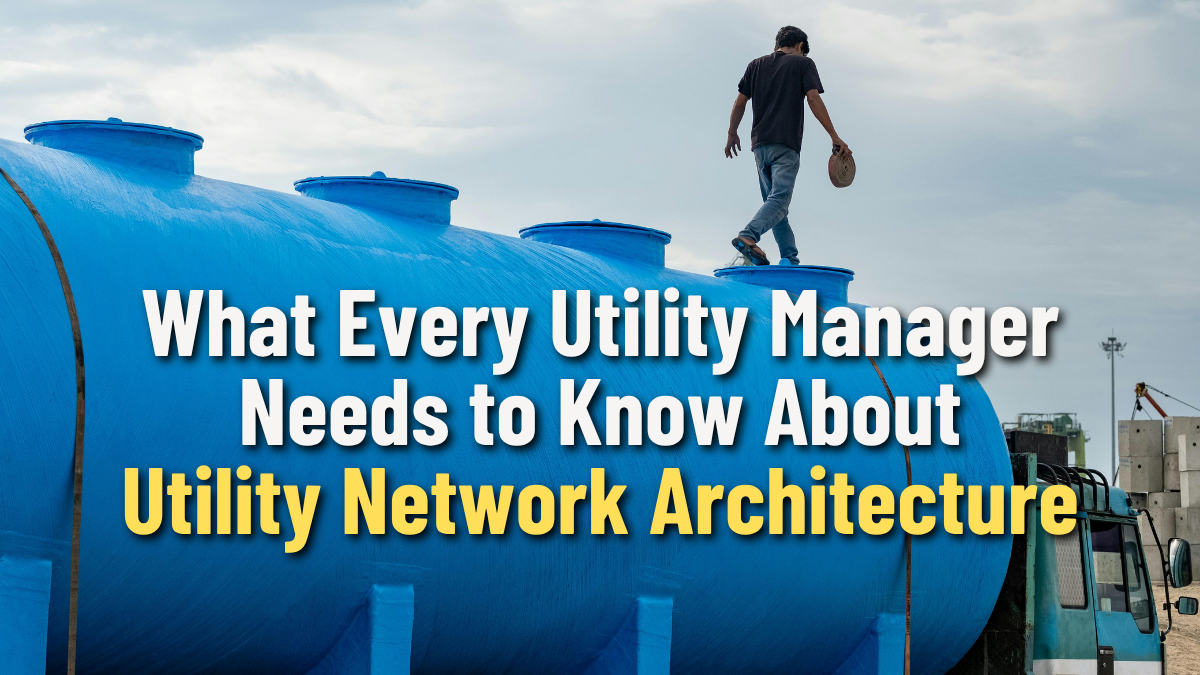
Here’s an uncomfortable truth about your GIS: it’s been covering for you. For years, maybe even decades, your Geometric Network has been tolerating data errors that would make a database administrator weep. Connections that violate your own business rules? Fine, tracing still works. Duplicate geometry stacked on top of itself? Not ideal, but whatever. AContinueContinue reading “What Every Utility Manager Needs to Know About Utility Network Architecture”
Author Archives: hasselbeckindustries
The Single Source of Truth
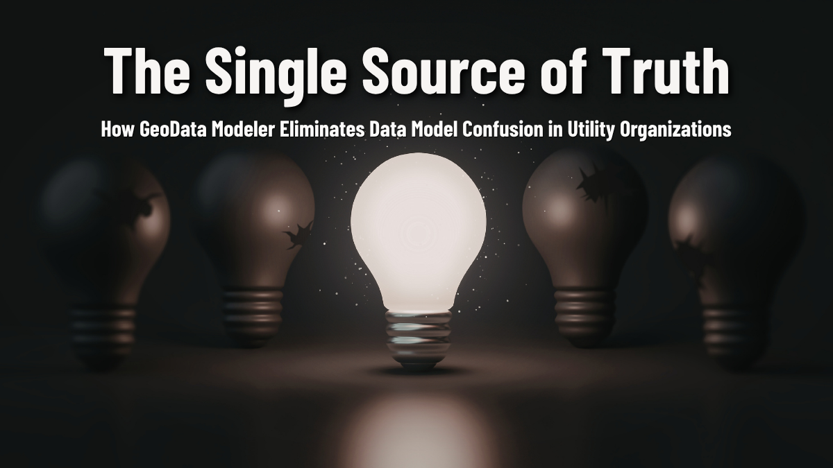
How GeoData Modeler Eliminates Data Model Confusion in Utility Organizations Pop quiz: where is your data model documented? If the answer is “in a spreadsheet that Dave started in 2019,” or “partly in ArcCatalog and partly in a SharePoint folder that nobody can find,” or, my personal favorite, “in Greg’s head, and Greg retired lastContinueContinue reading “The Single Source of Truth”
The Hidden Cost of Dirty Areas
Why Utility Network Migration Errors Are More Expensive Than You Think Let’s talk about the elephant in your geodatabase. You know Dirty Areas exist. Your team knows they exist. Everyone’s been sort of politely stepping around them like a puddle in the office hallway, assuming someone else will mop it up before migration day. Here’sContinueContinue reading “The Hidden Cost of Dirty Areas”
Logical Connectivity Validation

Logical Connectivity Validation is critical for successful Utility Network migration. Learn how GeoData Sentry automatically detects junction-edge, edge-edge, and connectivity rule violations that create Dirty Areas. Discover why these severity-5 errors must be resolved before migration and how automated validation saves time while ensuring data integrity for smart grid operations.
GeoData Sentry Adds Powerful New QA Tests for Utility Data
Maintaining clean, reliable data in a utility geodatabase is no easy task—especially with the increasing complexity of modern utility networks. That’s why we’re excited to announce a major update to GeoData Sentry, fully compatible with ArcGIS Pro 3.x and PostgreSQL environments.
New Tests to Boost Your Data Quality
GeoData Sentry Updated for ArcGIS Pro 3.3 Laurel Hill GIS is excited to share some new features in GeoData Sentry that can significantly enhance your data quality and operational efficiency. GeoData Sentry is used for automated Quality Control and Quality Assurance of geospatial data within Esri’s ArcGIS geodatabase. It detects and reports errors in attributeContinueContinue reading “New Tests to Boost Your Data Quality”
Ensuring Data Quality in Utilities with GeoData Sentry
GeoData Sentry is an advanced Quality Control and Assurance tool designed for Esri’s ArcGIS geodatabase, enhancing data integrity and accuracy for utilities. By automatically detecting and reporting errors, it safeguards the quality of geospatial data critical for utility operations. New Tests Enhancements Point on Vertex This test identifies point features coincident with a line thatContinueContinue reading “Ensuring Data Quality in Utilities with GeoData Sentry”
Release Announcement
New Features in GeoData Sentry Update We’re thrilled to announce the latest update to GeoData Sentry, packed with powerful new tools to boost your data quality and efficiency. The latest release of GeoData Sentry enhances its automated Quality Control and Quality Assurance capabilities for Esri’s ArcGIS geodatabase. These updates focus on improving data integrity, accuracy,ContinueContinue reading “Release Announcement”
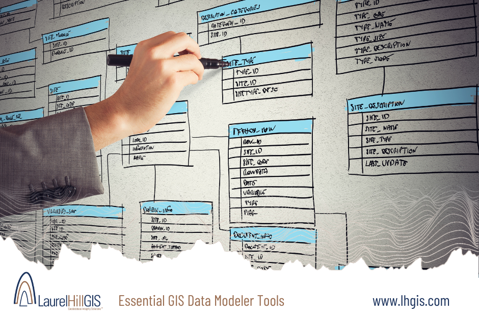
Understanding the Utility Network Model And Configuration

Ensuring a smooth transition to the Utility Network Have you recently migrated to the Utility Network and are struggling to understand and visualize network configurations? GeoData Modeler is here to help! GeoData Modeler’s reporting tools provide comprehensive reports on Utility Network properties. From schema details like tables, columns, asset groups, asset types, and domains toContinueContinue reading “Understanding the Utility Network Model And Configuration “
Duplicate Geometry and Vertex Validation

Ensuring a smooth transition to the Utility Network Preparing for a migration to the Utility Network? It’s crucial to understand that the geometry of your source data plays a significant role in ensuring a smooth transition. Geodata Sentry is here to help you navigate this process effectively! Duplicate Geometry Validation is an essential step in identifyingContinueContinue reading “Duplicate Geometry and Vertex Validation”