How Continuous Data Governance Transforms Utility Operations
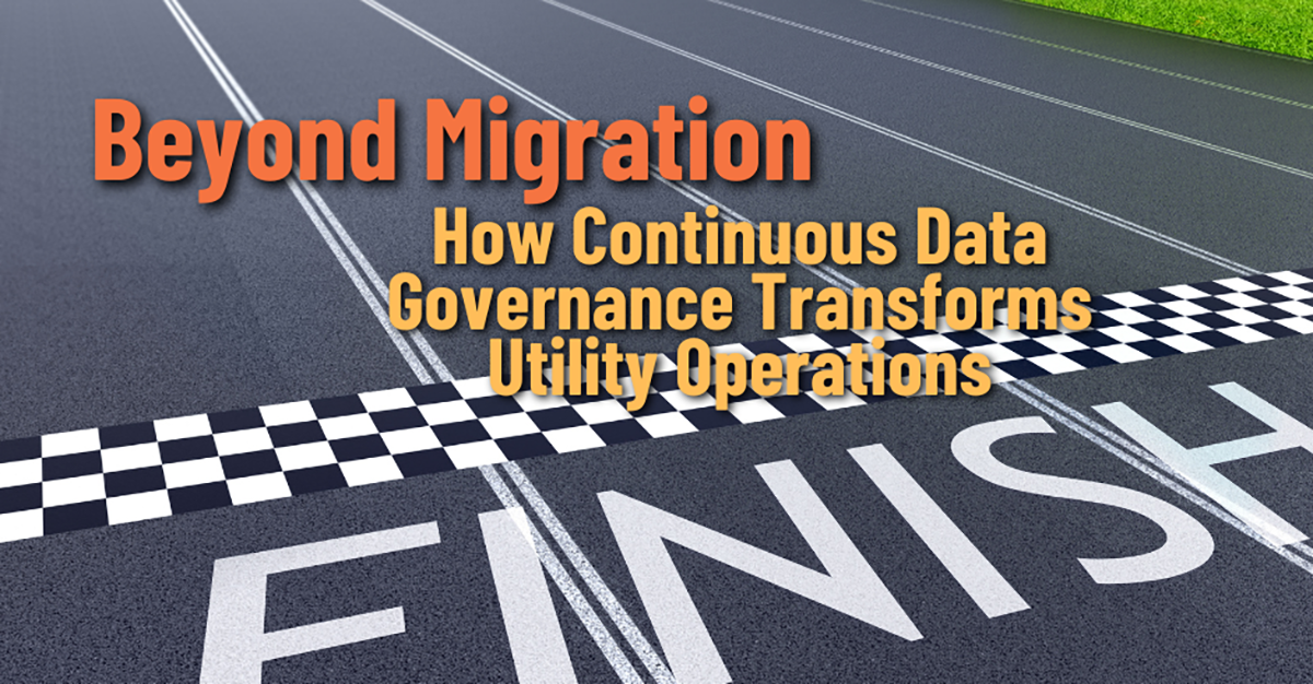
Migration gets all the attention. The deadline, the budget, the all-hands push to retire ArcMap and stand up the Utility Network. When the data finally validates and the subnetworks build, it feels like crossing a finish line your whole organization has been sprinting toward.
It isn’t a finish line. It’s a starting line.
The day after go-live, your data begins to drift. New service connections get added. Field crews make edits. Integrations push and pull records. Regulations change, and the schema changes with them. Treat data quality as a one-time migration milestone and the gains you fought so hard for will begin to erode, often within a few months. The utilities that pull ahead are the ones that treat data quality not as a project, but as an ongoing discipline.
Data Quality Has a Half-Life
Every utility geodatabase is under constant pressure from the real world. Assets get installed, retired, and re-routed. Two analysts interpret the same standard slightly differently. A nightly feed from another system introduces a value that was valid there but not here. None of these are catastrophes on their own. But they accumulate.
Left unmanaged, that accumulation is corrosive. The pristine, validated network you launched with slowly fills with the same connectivity errors, duplicates, and attribute inconsistencies you spent the migration eliminating. And because the Utility Network is unforgiving, those errors do not stay cosmetic—they re-introduce Dirty Areas, break traces, and undermine the subnetworks your operations depend on.
Continuous data governance is really nothing more than the practice of fighting that entropy on purpose, every day, instead of in a panic every few years.
It is worth being concrete about where the drift comes from. A new subdivision adds hundreds of features overnight. A crew corrects a location in the field and the edit propagates without a connectivity check. An upstream system pushes a batch of records whose domains do not quite match yours. A reorganization hands the data to people who were not part of the original migration and do not know its conventions. Individually trivial; collectively, they are exactly how a clean network becomes a messy one.
Continuous Validation Keeps the Network Trustworthy
The same validation that got you ready for migration is even more valuable after it. Running GeoData Sentry on a schedule means you catch the dirty connection the day it is introduced, while you still know who made the edit and why. A problem found in this week’s validation run is a five-minute fix. The same problem discovered six months later, buried under hundreds of subsequent edits, can take a day to untangle.
Just as important is the ability to compare runs over time. When you can track error counts and types from one validation to the next, data quality stops being a vague worry and becomes a measurable trend you can manage, report on, and hold steady. You move from reacting to problems to preventing them.
There is a cultural shift embedded in this as well. When validation is routine and its results are visible, data quality stops being one team’s private burden and becomes a shared expectation. Editors learn what “clean” looks like because they see the consequences of their work reflected back quickly, while the issue is still fresh. Over time the network does not merely stay valid, the organization gets steadily better at keeping it that way.
A Data Model That Evolves With You
Your data model is not frozen at migration. New asset types arrive. Regulators require new fields. Smart grid devices, distributed energy resources, and advanced metering all bring their own data requirements. Every one of those changes ripples through the schema and through every person and system that depends on it.
This is where GeoData Modeler earns its place in an ongoing governance program. It keeps your data model documentation in lockstep with the live model in ArcGIS Pro, so the schema people work against is the schema that is actually deployed. When the model evolves, the documentation evolves with it. New staff onboard against current truth instead of a stale spec, and the teams responsible for connected systems are not blindsided by a change they never heard about.
Knowing the Condition of What You Own
Governance is not only about connectivity and schema. It is also about the physical reality of your assets and the regulatory obligation to demonstrate you understand their condition. Pole inspections, pipeline integrity programs, vegetation management: these never stop, and “inspect everything, every cycle” is rarely affordable or necessary.
GeoData Random Sampler brings statistical rigor to that ongoing work. Instead of inspecting every asset or guessing at a percentage, you draw defensible, statistically valid samples by statistical method, percentage, absolute count, or a targeted where-clause, so you can make regulator-ready statements about asset condition without the cost of a full census. Because the process is repeatable, condition assessment becomes a steady, planned rhythm rather than a fire drill before an audit.
The governance payoff is consistency. When sampling is repeatable and documented, this year’s assessment is genuinely comparable to last year’s, trends in asset condition become visible over time, and the story you tell a regulator rests on a defensible, reproducible method rather than a one-off scramble.
Clean Data Is the Price of Admission for Analytics and AI
Every utility roadmap now includes some version of smart grid, predictive maintenance, advanced analytics, or machine learning. Every one of those initiatives makes the same silent assumption: that the underlying data is trustworthy.
It is an unforgiving assumption. A predictive model trained on a network with bad connectivity will confidently produce wrong answers. An analytics dashboard built on inconsistent attribution will mislead the very executives relying on it. “Garbage in, garbage out” amplifies at scale. Continuous data governance is what turns your geodatabase from a liability into the dependable foundation these advanced capabilities require. You cannot bolt on AI readiness later; it is a property of the data you maintain today.
There is a sequencing lesson here that catches many utilities off guard. The instinct is to treat analytics and AI as a future phase to tackle once the “real” work is finished. But the data those initiatives will need is the data you are creating and maintaining right now. A network kept clean continuously is analytics-ready by default. A network allowed to drift will demand its own expensive remediation project before any model can trust it, so the cost of neglect moves silently downstream and grows.
What Governance Looks Like in Practice
Continuous governance can sound abstract, but in practice it comes down to a handful of recurring rhythms and small commitments that, repeated, keep the whole system healthy:
- Scheduled validation: Run automated connectivity and attribute checks on a regular cadence—nightly or weekly for active areas—so errors are caught within days of being introduced rather than discovered months later.
- Schema change review: Treat every change to the data model as an event that gets documented and communicated. The teams downstream of the GIS should never be surprised by a field that moved.
- Planned condition sampling: Build statistical sampling into inspection and compliance cycles so condition data stays current and audit-ready, instead of being assembled in a rush before a deadline.
- Trend reporting: Track data-quality metrics over time and put them in front of leadership. What gets measured gets maintained.
None of these is heavy on its own. The power is in the cadence. A utility that does these things routinely never accumulates the kind of data debt that forces another disruptive cleanup project down the road.
Governance as a Competitive Advantage
Reframed this way, data governance becomes strategy. The utilities treating their data as an actively managed asset are the ones restoring service faster, passing audits with less scramble, planning capital with more confidence, and adopting new technology without first having to clean up years of accumulated mess.
The others, meanwhile, are rediscovering the same data problems again and again, because nothing in their process prevents the problems from recurring. Over a few years, that gap compounds into a real operational and financial difference.
Put simply, it is the difference between a utility that spends its energy moving forward and one that keeps paying to recover ground it already covered. Both started from the same migration; only one kept the value.
Future-Proofing the Investment You Already Made
It takes a great deal of money, time, and organizational energy to migrate to the Utility Network. Continuous governance is how you protect that investment and keep it compounding instead of decaying. The GeoData Suite was built for exactly this long game: Sentry to keep the network valid, Modeler to keep the model current, and Random Sampler to keep your understanding of the field grounded in defensible evidence.
Migration was the hard part. Don’t let the gains slip away the moment the project closes. Reach out to talk through what continuous data governance could look like for your operation—and how the full GeoData Suite can help you sustain it.
Reach out for more information or a demo using your own data.