


Utility companies face the challenge of managing vast amounts of data with precision and reliability – with the additional pressure of providing a critical customer service. At Laurel Hill GIS, we specialize in providing top-tier solutions to ensure the integrity of your geodatabase. Our expertise in database management helps utility companies enhance data accuracy, streamline operations, and make informed decisions. Discover how maintaining geodatabase integrity can transform your business operations and why Laurel Hill GIS is your trusted partner in achieving excellence.
The Benefits of Geodatabase Integrity for Utility Companies
Enhanced Data Accuracy and Reliability
Geodatabase integrity ensures that all spatial and non-spatial data within a utility company’s database is accurate and reliable. This reduces errors in network management and planning, leading to more precise infrastructure development and maintenance. By maintaining accurate data, utility companies can prevent costly mistakes and improve overall service delivery.
Improved Decision-Making
Having clean and precise data allows utility companies to make better strategic decisions. Accurate data provides a solid foundation for analyzing trends, forecasting demand, and planning future expansions or upgrades. This leads to more effective resource allocation and better long-term planning.
Increased Operational Efficiency
Geodatabase integrity streamlines workflows by reducing the time and effort required to correct data errors. This increases overall productivity as staff can focus on more critical tasks rather than spending time on data validation and correction. Efficient data management processes also lead to faster response times and improved customer service.
Regulatory Compliance
Maintaining data integrity ensures that utility companies comply with regulatory requirements. Accurate and reliable data is essential for reporting and auditing purposes. Compliance with regulations helps avoid legal issues and potential fines, while also enhancing the company’s reputation.
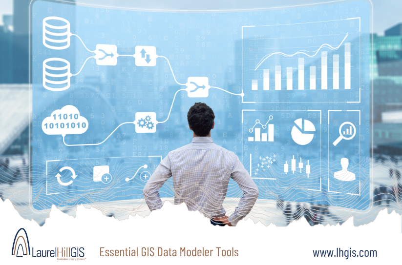
Solutions from Laurel Hill GIS
GeoData Modeler
GeoData Modeler automates the design and documentation of geodatabases. It helps utility companies create detailed and accurate data models, ensuring that all data is correctly structured and documented. This tool simplifies the process of managing complex geodatabases, making it easier to maintain data integrity.
GeoData Sentry
GeoData Sentry conducts comprehensive quality control checks to ensure data integrity. It identifies and corrects errors within the geodatabase, maintaining high standards of data accuracy and reliability. This tool is crucial for utility companies to continuously monitor and improve their data quality.
GeoData Random Sampler
GeoData Random Sampler simplifies the process of data sampling for quality assurance. It allows utility companies to efficiently sample and assess the quality of their data, ensuring that it meets required standards. Regular sampling and assessment help maintain the overall integrity of the geodatabase.
Using the tools from Laurel Hill GIS can provide utility companies with robust solutions to maintain high-quality geodatabases, facilitating efficient operations and informed decision-making.
Reach out today for a personalized conversation about your requirements, requests, and options.